Overview
Digital maps are dominated by the spatial: coordinates, polygons, and networks. Yet when we talk about the world around us, we rarely think in such precise terms. We think in places. This distinction between the platial and the spatial is more than semantics—it changes how we represent, analyse, and live with geography.
An extended reflection on the difference between the spatial and the platial, why it matters for data, design, and everyday life, and how embracing both can transform how we map the world.
For most of the history of cartography, maps have been concerned with the spatial. They describe the world in terms of latitude and longitude, distances and directions, shapes and boundaries. This spatial imagination made possible everything from maritime navigation to the cadastral parcel, and today it underpins the digital infrastructures that power satnavs, delivery apps, and location-based services. Spatial data has the virtue of precision and comparability: every point on the earth can be assigned a coordinate, every road a length, every region an area.
The Platial Perspective
But the way humans actually talk about and relate to their environments is rarely so exact. We do not say we are going to “52.9548° N, 1.1581° W”; we say we are meeting in Nottingham Market Square. The square is not just a polygon in a GIS database: it is a stage for protests, a site of Christmas fairs, a landmark for orientation, and a space of memory and belonging. These associations—social, cultural, affective—are what we call platial. They are not accidental or secondary to the spatial; they are the very fabric of how people make sense of their worlds.

Ambiguity Is Informative
Recognising this distinction has become increasingly urgent in the digital age. Modern mapping platforms are astonishingly powerful at managing spatial data, yet they often struggle to capture the fuzziness of platial concepts. Where does “the Midlands” begin and end? Why does one neighbourhood boundary feel wrong to the residents who live there? How do we represent contested or overlapping claims to space? In conventional GIS, ambiguity is treated as error to be minimised. In a platial frame, ambiguity is a feature to be studied and communicated.
Partners, Not Opposites
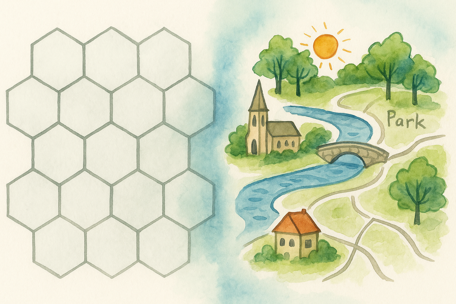
This is not an argument to abandon the spatial. Coordinates, projections, and geometry remain essential for interoperability and analysis. But an exclusive reliance on the spatial can flatten lived realities. A park is spatially a polygon; platially, it may be a sanctuary for some, a site of exclusion for others, and a contested resource in planning debates. A street is spatially a line segment; platially, it may be “the high street,” “the nightlife strip,” or “the unsafe shortcut.” These meanings matter because they shape behaviour, memory, and identity.
Practical Implications
The move toward platial thinking has implications far beyond academic geography. In urban design, it shifts attention from abstract land parcels to the qualities of lived environments. In digital humanities, it enables narratives and memories to be grounded in places without reducing them to coordinates. In policy and governance, it challenges the assumption that administrative boundaries neatly correspond to communities of interest. And in everyday life, it helps explain why the maps on our phones often feel inadequate to describe how we actually experience the city.
From Points to Places
Technically, this means exploring new ways to represent fuzziness, context, and multiplicity. Spatial data mining can be used to cluster patterns of activity that suggest emergent places rather than fixed points. Viewshed analysis can reveal why certain sites matter because of what can be seen from them. Social media traces, participatory mapping, and sensor data can all add layers of meaning that extend a purely geometric frame. The task is to move from points of interest to places of interest: not just where something is, but what it is to those who encounter it.
Mapping for Dialogue
Thinking platially also means reimagining maps as frameworks for dialogue rather than definitive answers. Instead of declaring where a boundary “really” lies, a platial map might show overlapping extents, contested claims, or shifting zones of attachment. Instead of a single attribute, a platial dataset might hold multiple, even contradictory, descriptions of a place. Such approaches are more complex, but they are also more faithful to the realities of human geography.
Toward a Richer Geography
Ultimately, the spatial and the platial are not opposites but partners. The spatial provides the scaffolding—geometry, precision, interoperability. The platial provides the substance—meaning, memory, and lived experience. To privilege one over the other is to lose something vital. Together, they enable a richer geography: one that is both computationally rigorous and humanly resonant.
The distinction matters because maps are not just tools for orientation; they are instruments of power, imagination, and identity. A spatial map can show us where things are. A platial map can help us understand why they matter. And it is at the intersection of the two that the future of digital geography is being drawn.